Maryland · 6 roads · 141.0 catalog miles
Best Driving Roads in Maryland
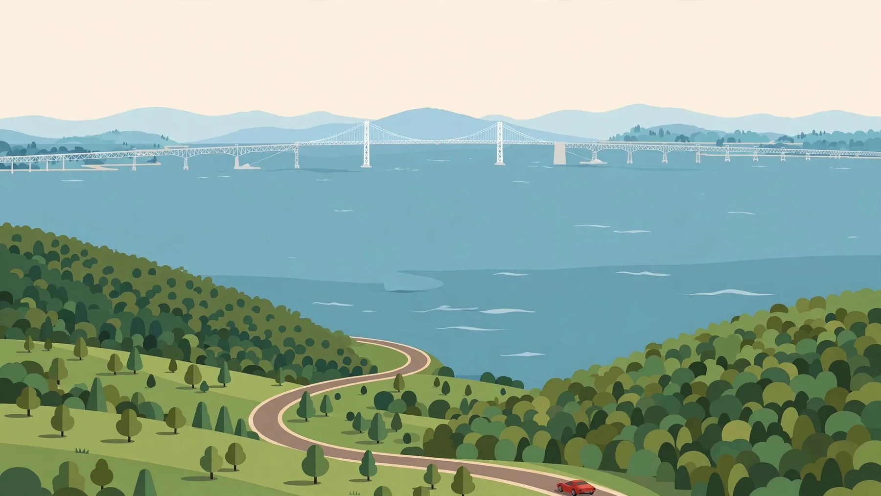
These Maryland picks focus on the western mountains, historic National Pike and Catoctin country rather than Chesapeake-side driving. The short-to-medium itineraries make it possible to compare distinct regional outings without crossing the whole state.
These 6 editorial picks come from the RevRoutes Explore catalog. Each orange line is the exact saved itinerary, and its listed mileage follows that route rather than the full length of a named highway or byway. The list is a starting point for choosing a drive, not a live road-conditions report.
Exact catalog lines. Every orange route below is a real RevRoutes itinerary—not a pin, shortcut or newly calculated alternative.
MD-77 (Catoctin Mountain)
20.4 miles in the Maryland catalog region
- 20.4 mi
- Maryland
Exact saved Explore itinerary. The displayed distance follows this line; the full named road may continue beyond the selected start or finish.
MD-77 introduces the Catoctin Mountain area in a compact itinerary. Check separate park and recreation-area access if you want to turn the highway drive into a day with walking or visitor stops.
Official travel information: Maryland traffic and road closure resources

MD-495 (Bittinger Road)
22.31 miles in the Maryland catalog region
- 22.31 mi
- Maryland
Exact saved Explore itinerary. The displayed distance follows this line; the full named road may continue beyond the selected start or finish.
MD-495 adds a Bittinger Road itinerary to the western-Maryland choices. Compare it with MD-135 before building a combined route, since nearby catalog entries are not necessarily separate non-overlapping journeys.
Official travel information: Maryland traffic and road closure resources

MD-135 (Maryland Highway / Backbone Mountain)
29.13 miles in the Maryland catalog region
- 29.13 mi
- Maryland
Exact saved Explore itinerary. The displayed distance follows this line; the full named road may continue beyond the selected start or finish.
MD-135 brings the Backbone Mountain area into the collection. This western high-country setting can have different weather from Maryland's lower areas, so use current conditions rather than a statewide forecast alone.
Official travel information: Maryland traffic and road closure resources

MD-42 — Friendsville Road
14.89 miles in the Maryland catalog region
- 14.89 mi
- Maryland
Exact saved Explore itinerary. The displayed distance follows this line; the full named road may continue beyond the selected start or finish.
Friendsville Road follows the MD-42 catalog section in western Maryland. Its role here is a smaller regional road alongside the longer mountain corridors, not an entire statewide north–south itinerary.
Official travel information: Maryland traffic and road closure resources

MD-51 (Oldtown Road)
33.74 miles in the Maryland catalog region
- 33.74 mi
- Maryland
Exact saved Explore itinerary. The displayed distance follows this line; the full named road may continue beyond the selected start or finish.
MD-51, also identified here as Oldtown Road, gives the guide a western-Maryland highway outing. Its selected length makes it a focused regional drive rather than an end-to-end tour of the state.
Official travel information: Maryland traffic and road closure resources

US-40 Scenic / MD-144 (National Pike, Sideling Hill)
20.49 miles in the Maryland catalog region
- 20.49 mi
- Maryland
Exact saved Explore itinerary. The displayed distance follows this line; the full named road may continue beyond the selected start or finish.
The US-40 Scenic and MD-144 entry follows the National Pike identity around Sideling Hill. It offers a historic-highway contrast to the other mountain roads, with the saved line specifying which sections are included.
Official travel information: Maryland traffic and road closure resources

Make it your next drive
Drive these 6 roads with RevRoutes.
Find these routes in the app, track your drives and discover car meets near you.
Download on iOSAlready have RevRoutes? Open Explore and search for a road by name.
Planning your Maryland drive
The shortest saved route in this guide is 14.89 miles; the longest is 33.74 miles. Choose one itinerary first and account for travel to its start and back from its finish. These are separate route picks, not an automatically connected road trip, and some can share road sections.
Check official Maryland traffic and road closure resources before leaving. Park entry, timed reservations, vehicle restrictions and visitor-site permissions can be separate from whether the public highway is open. Follow current local instructions over an old map or article.
How we chose these Maryland roads
This is a focused selection from the curated RevRoutes Explore catalog, ordered editorially for driving character and reputation, not mileage. We do not pad every state to the same number of picks; more roads remain available in the app. It is not an objective ranking or a claim that the editorial team has personally driven every itinerary. Distances describe the exact saved catalog lines and can differ from official byway lengths. The maps are planning aids—not live navigation or road-condition reports.
Check official Maryland traffic and closure resources before traveling. The label-free satellite imagery is supplied by USGS The National Map; map providers receive ordinary browser requests when a map loads.
Maryland route pages
- MD-77 (Catoctin Mountain)Maryland · 20.4 mi
- MD-495 (Bittinger Road)Maryland · 22.31 mi
- MD-135 (Maryland Highway / Backbone Mountain)Maryland · 29.13 mi
- MD-42 — Friendsville RoadMaryland · 14.89 mi
- MD-51 (Oldtown Road)Maryland · 33.74 mi
- US-40 Scenic / MD-144 (National Pike, Sideling Hill)Maryland · 20.49 mi
More scenic driving guides
Browse the state-by-state collection for another route to add to your next road trip.
Browse all state guides