Oregon · 5 roads · 229.6 catalog miles
Top 5 Best Driving Roads in Oregon
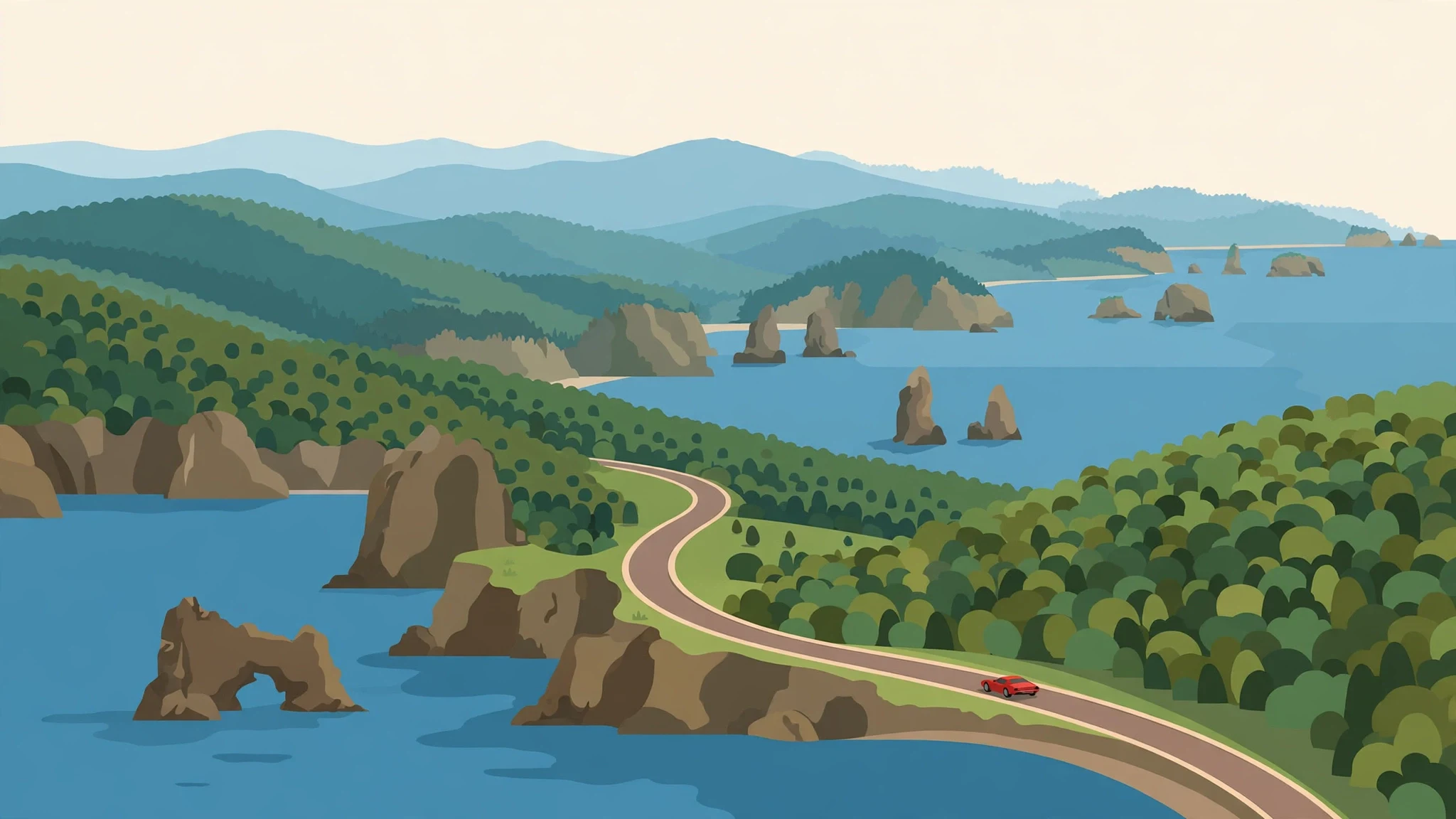
Oregon’s best drives aren’t all the same kind of road. In a single state, you can cross a lava field, climb above the Columbia River, follow a forest river and watch the Pacific appear between headlands.
These five editorial picks come from the RevRoutes Explore catalog. They balance different landscapes and trip lengths, from a short Gorge drive to a full day on the North Umpqua. The orange lines below show the actual catalog itineraries, not suggested shortcuts or a generic pin on a map.
Exact catalog lines. Every orange route below is the real RevRoutes itinerary you can load in the app, not a shortcut or a pin.
McKenzie Pass
For lava fields and a true mountain pass
- 36.25 mi
- Central Oregon · Cascades
The 36.25-mile Explore itinerary is the catalog’s “Short Version,” not the entire McKenzie Pass–Santiam Pass scenic byway loop.
McKenzie Pass makes one of Oregon’s sharpest changes of scenery: dense Cascade forest gives way to a stark volcanic landscape around Dee Wright Observatory. The narrow road and close-set curves make this a drive for taking your time, with mountain views as the reward rather than speed.
Choose this one if you want the mountain-road experience in a relatively compact itinerary. Pull into a designated parking area before stopping to look around; the road has sections without a shoulder and is shared with cyclists.
Highlights
- Volcanic landscape
- Cascade forest
- Dee Wright Observatory area
Season
Safety

Rowena Loops
For sweeping Gorge views in a shorter drive
- 12.78 mi
- Columbia River Gorge
This 12.78-mile catalog route is the Rowena Loops section, not the entire Historic Columbia River Highway or the separate waterfall-corridor itinerary.
The Rowena Loops climb through the drier eastern side of the Columbia River Gorge, where open slopes and broad river views replace the waterfall corridor’s enclosed forest. The famous horseshoe curves below Rowena Crest are the signature moment, but the appeal is the whole climb and its changing perspective.
It is the shortest pick here and a good choice when you have less time. Use the designated overlook for photographs rather than stopping in a curve, and remember that this historic highway is also used by cyclists.
Highlights
- Rowena Crest
- Columbia River views
- Historic highway curves
Season
Safety

Aufderheide Drive
For a long, quiet-feeling forest escape
- 57.31 mi
- Willamette National Forest
The mapped Explore itinerary is 57.31 miles; the Forest Service describes the wider scenic byway as approximately 60 miles.
Aufderheide Drive connects the McKenzie River side of the Cascades with the Westfir and Oakridge area. Forest canopy, reservoirs and river scenery give it a different rhythm from an open mountain pass: this is the pick for spending more of the day among trees than towns.
The road is part of the wider West Cascades Scenic Byway. Treat it as a self-contained outing rather than a quick shortcut, with fuel, food and your stops planned before you leave the main highways. Recreation sites along the corridor may have their own fees, access rules or closures.
Highlights
- Willamette forest
- Cougar Reservoir area
- River scenery
Season
Safety

Samuel H. Boardman Corridor
For headlands, sea stacks and Pacific views
- 23.22 mi
- Southern Oregon Coast
The 23.22-mile catalog drive includes approaches beyond the state park’s roughly 12-mile scenic corridor. Viewpoint access roads are not part of this route line.
On Oregon’s south coast, US-101 threads past forested headlands with the Pacific just beyond the trees. The Samuel H. Boardman area brings sea stacks, coves and a series of signed viewpoints within reach of a coastal drive. It is a natural contrast to the inland mountain and river routes on this list.
The RevRoutes itinerary runs from south of Gold Beach toward a finish north of Brookings. Allow extra time for legal viewpoint stops, but do not expect the orange line to include every parking spur or walking trail. Arch Rock and other viewpoints require leaving the through-road and parking safely.
Highlights
- Pacific headlands
- Sea-stack viewpoints
- Southern coast scenery
Season
Safety

North Umpqua Highway
For a full day of rivers, forest and waterfall country
- 100 mi
- Southern Oregon · Umpqua
This is the reviewed 100-mile OR-138 itinerary, not the separate longer catalog route to Crater Lake. It does not include a Crater Lake rim drive.
Heading east from Roseburg, OR-138 reaches the North Umpqua River near Glide and continues into the forested Cascades. River bends, changing elevation and access to waterfall country make it the longest, most day-trip-oriented choice on this list.
Build in time for breaks instead of treating the mileage as a target. Toketee and other falls in the region are separate stops, often involving a walk and their own access considerations; they are not all visible from the car. The catalog route continues beyond the Diamond Lake area toward US-97.
Highlights
- North Umpqua River
- Waterfall country
- Cascade scenery
Season
Safety

Make it your next drive
Drive these roads with RevRoutes.
Find all five routes in the app, track your drives, and discover car meets near you.
Download on iOSAlready have RevRoutes? Open Explore and search for a road by name.
How we chose
Selected for landscape variety, scenic character and usable, reviewed route geometry in the live Explore catalog. This is an editorial shortlist, not an objective ranking or a claim that we have personally driven every road. Distances describe the specific RevRoutes itineraries and may differ from official byway lengths. Maps are planning aids, not live navigation or road-condition reports.
Catalog scope: these are five picks from RevRoutes, not every road in Oregon. Interactive maps load label-free satellite imagery from USGS; the provider receives ordinary browser requests. The maps do not use analytics. Check road access and closures before setting out.